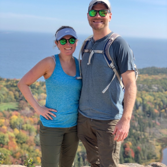
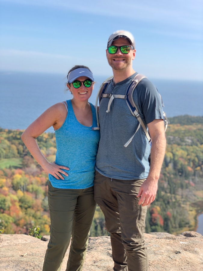
Hey friends! I’m back with another recap from our 10 year anniversary trip up to Acadia National Park in Maine.
If you missed my first recap, check that out to read all about the delicious food we ate while in Maine. And now, on to the hiking!
If you’re a hiking fan and you haven’t checked out Acadia yet, I highly recommend it. It is a 47,000-acre area right on the coast of Maine, located primarily on Maine’s Mount Desert Island.
It has woodland areas (the fall foliage was lovely this time of year, in mid October), rocky beaches, and granite peaks, including Cadillac Mountain, which is the highest point on the United States’ North Atlantic seaboard.
It sounded like a great spot for our anniversary weekend adventure, and we were right!
On the first morning of our trip, we decided to do a big hike that would loop together a few different highlights within the park. We had beautiful weather for it!
Want to save this post?
Enter your email below and get it sent straight to your inbox. Plus, I'll send you great content every week!
After reviewing all the recommendations we had received, we decided to kick our trip off with the Beehive Hike, which is one of Acadia’s famous rung and ladder style trails, and was pegged as an adventurous hike with fantastic views of the ocean.
(The other hike like this in the park is Precipice, which we thought about doing but didn’t end up having time for. It’s apparently similar.)
We decided to start with the Beehive trail up to the summit, then hike from there to the Bowl, a lake with pretty views, and then carry on hiking to summit Gorham Mountain before heading back to our parking area via an ocean front walking path (which also has the road next to it).
We essentially did this loop, but we must have done some little offshoots as our hike ended up being about 4.5 miles total.
Sidenote – I highly recommend the AllTrails app. Matt used it on our trip and it was really useful because the park doesn’t have any cell service in a lot of places.
We were able to download trail maps ahead of time so we knew where we were and could easily add on to our hikes and do little offshoots or additional loops by referencing the maps.
We also had a paper map from the park service, but AllTrails proved to be really useful, as did downloading the Google Maps for the area just in case as well! This especially proved useful later in the trip when we did a big hike that wasn’t fully on the park maps.
Anyway! We started our day by parking near Sand Beach (and purchasing a park pass on our way in – you need one for the park, so starting with this hike where we went through a park service station to get there was perfect so we had a pass for the rest of the visit, because not all the hikes are near a service station).
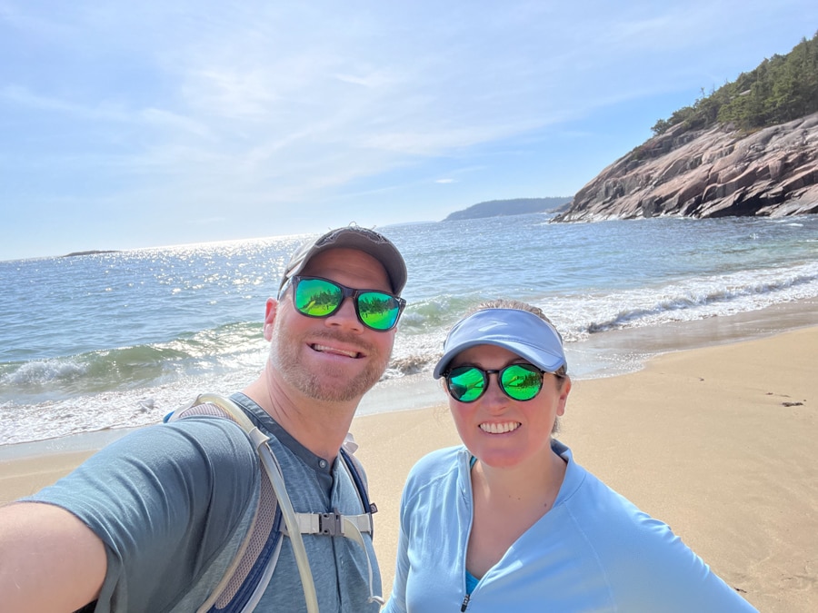
We didn’t arrive until about 10:30 or so, and it was mobbed, so we ended up parking on the road leading up to the parking lot.
There are bathrooms and water bottle refill areas by the parking lot, which was useful, and there are also steps down to gorgeous Sand Beach right off the parking lot, so it was not surprising it was crowded.
This would be amazing in summer, wouldn’t it?! Have any of you been? I’d love to swim here!
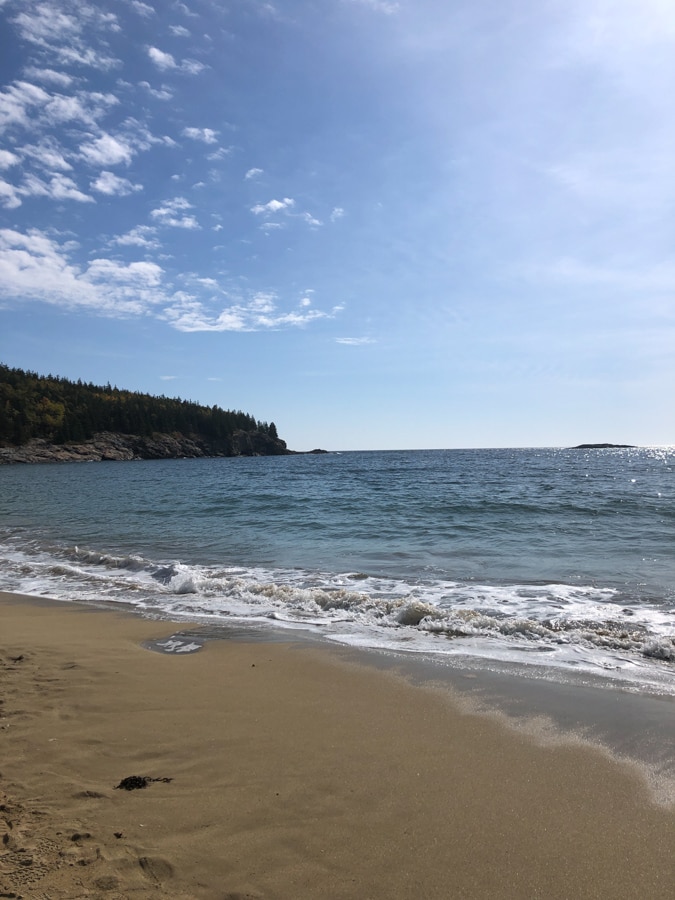
After checking out the beach, we backtracked through the parking lot and down the road a little bit until we reached the Beehive Trailhead (accessed via the Bowl trail). Let’s do this!
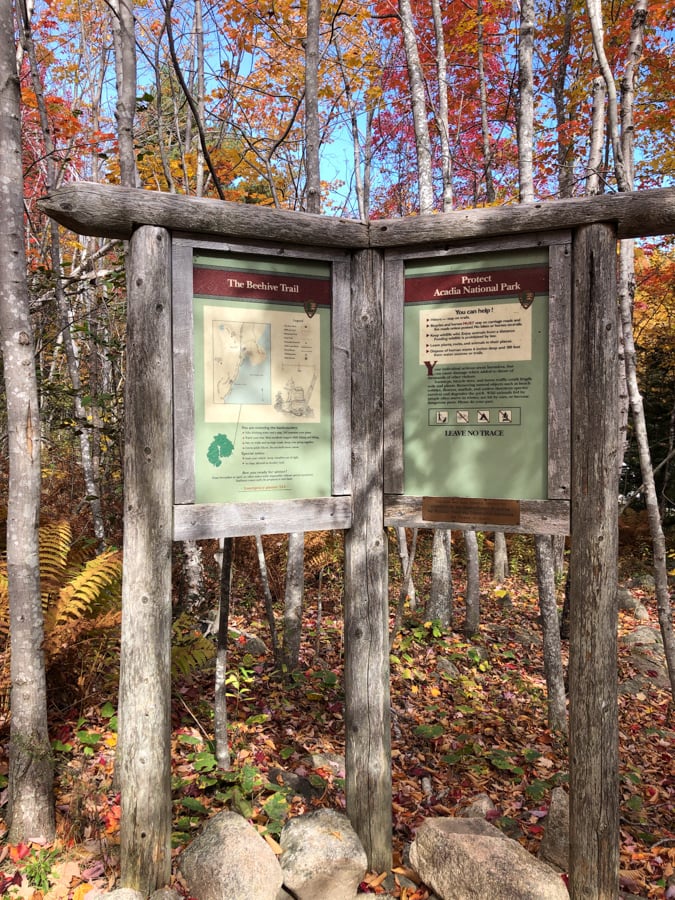
It was gorgeous in the woods with all the fall colors, and while the trail was easy at this point, it was uneven with a lot of loose rocks, so you had to make sure you didn’t get too distracted by the fall colors and watched your feet.
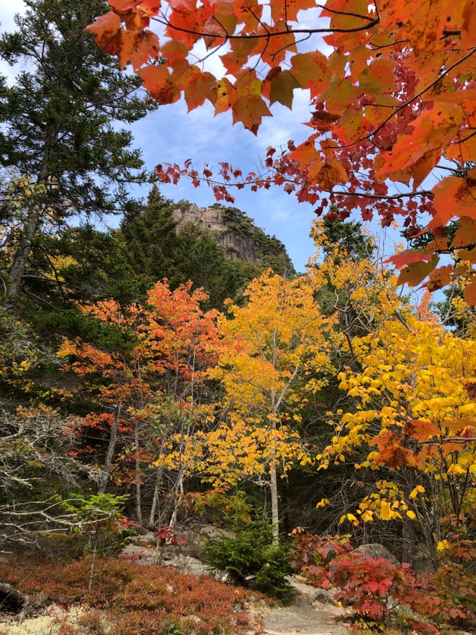
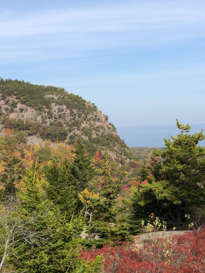
In the picture below you can see where we were heading – that cliff!
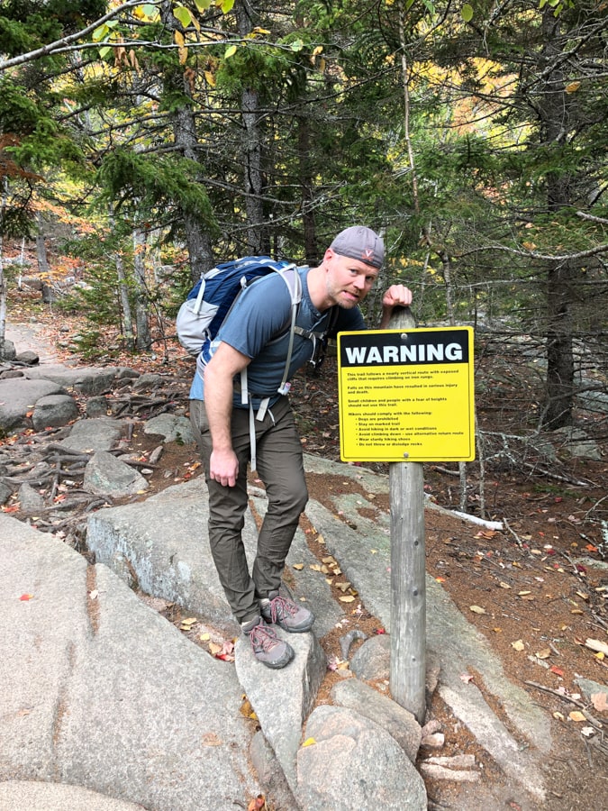
Before long we reached the beginning of the more technical part of this trail, complete with a warning sign!
As the park service website put it: “If choosing this hike, expect steep granite staircases, iron rungs, and exposed cliff faces.” Eek! Not for anyone super scared of heights…
From there, the trail goes up and up and up!
As soon as you are out of the woods, the views get super gorgeous. That’s the sand beach way down there where we started!
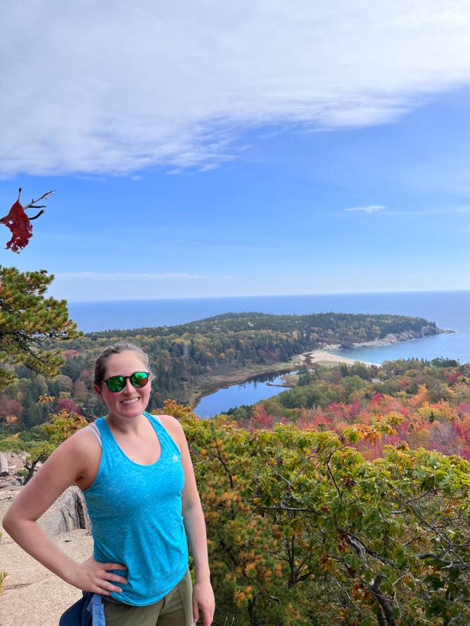
And then it was more up!
520 feet up, to be exact, and all of it right on the cliff face essentially. There were definitely a couple parts where I got a little nervous, but it helped to just keep moving – and the iron rungs were well placed, too.
Sometimes the iron rungs were like a ladder, and other times more of a hand hold as you shimmied along an edge.
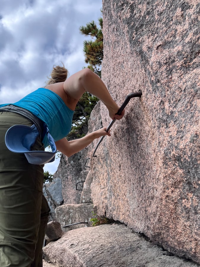
In one area the rungs were actually like a little bridge – eek! Did not love this one…
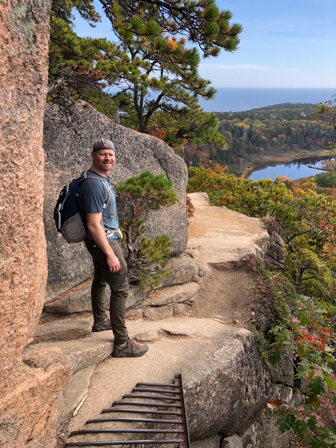
The views going up got better and better – although looking down was also a little like EEK!
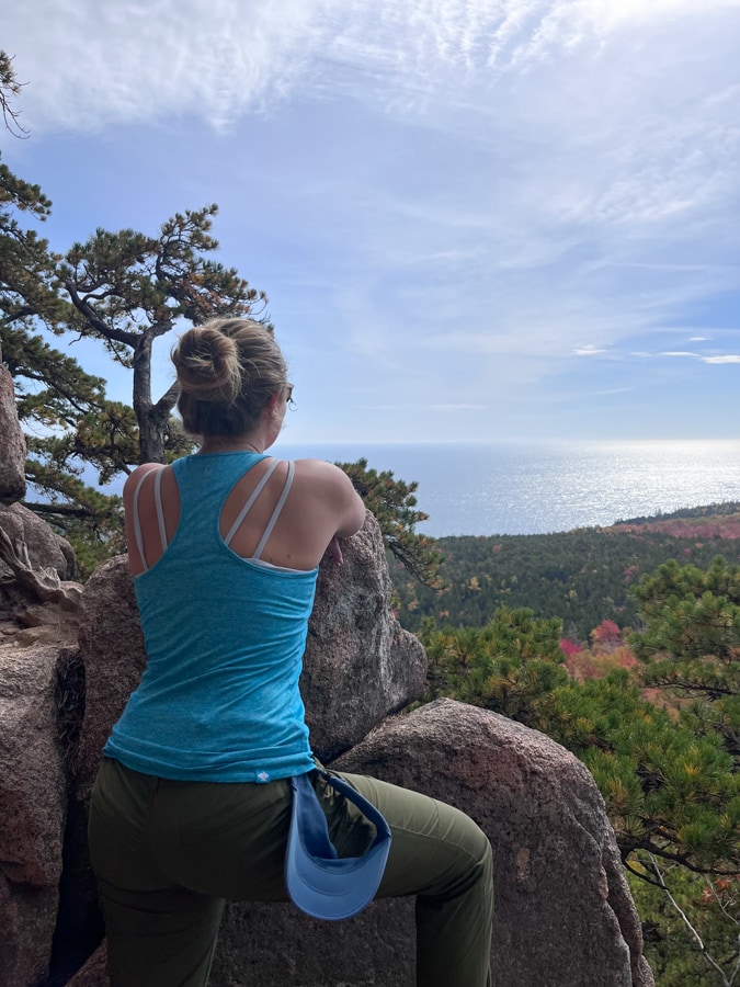
It’s highly recommended to do this hike this way – meaning climbing up, and completing the loop by going down a different (simpler) way – rather than trying to come down the iron rung ladder portion, which is tough with so many people trying to go up as it’s one of the most popular hikes in the park.
I could see why they recommend everyone go the same way – it’s tight in terms of space and not easy to pass people!
We heard from a few people that earlier in the day it was so crowded you had to basically wait on the cliff face for ages while people climbed ahead of you, which sounded really terrifying. Keeping moving was helpful with that cliff edge right there next to you!
Guess it paid off that we slept in and were not go-getters on this day and arrived late morning instead of first thing. 🙂
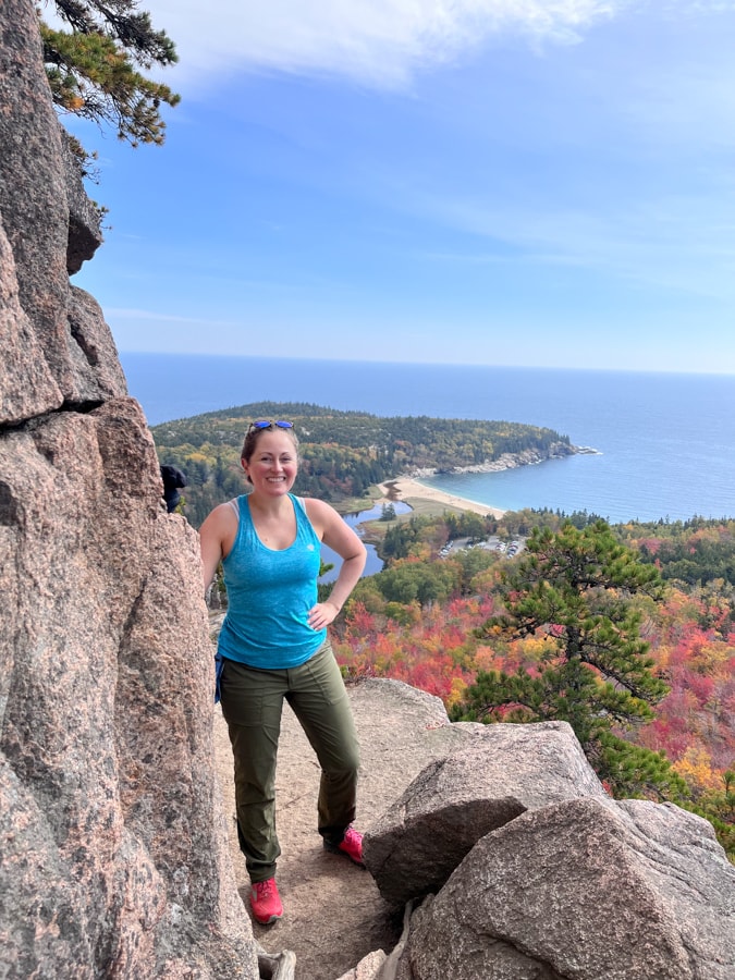
There was one group ahead of us but they ended up finding an area where they could safely step to the side so we could pass them, which was nice.
And before we knew it, we were scrambling up the last little bit to the summit!
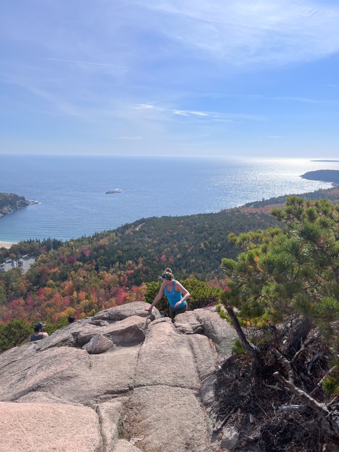
Here I come – phew!! Made it.
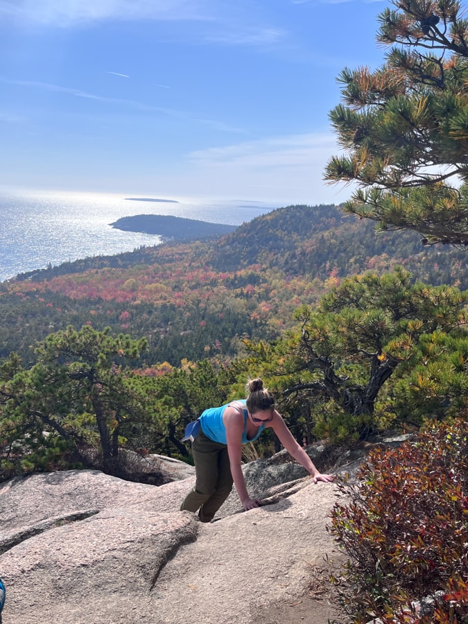
What an adventure!
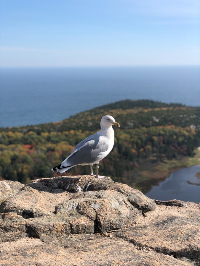
This seagull greeted us at the top:
There were a bunch of people up there (you can also access the summit via some easier trails, which is the way we left), but it didn’t feel mobbed, which was nice. Everyone was able to find their own area.
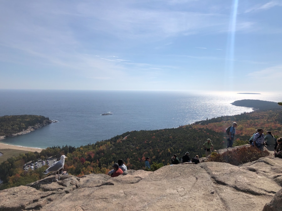
We traded pictures with another couple!
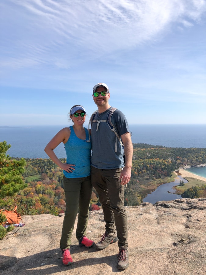
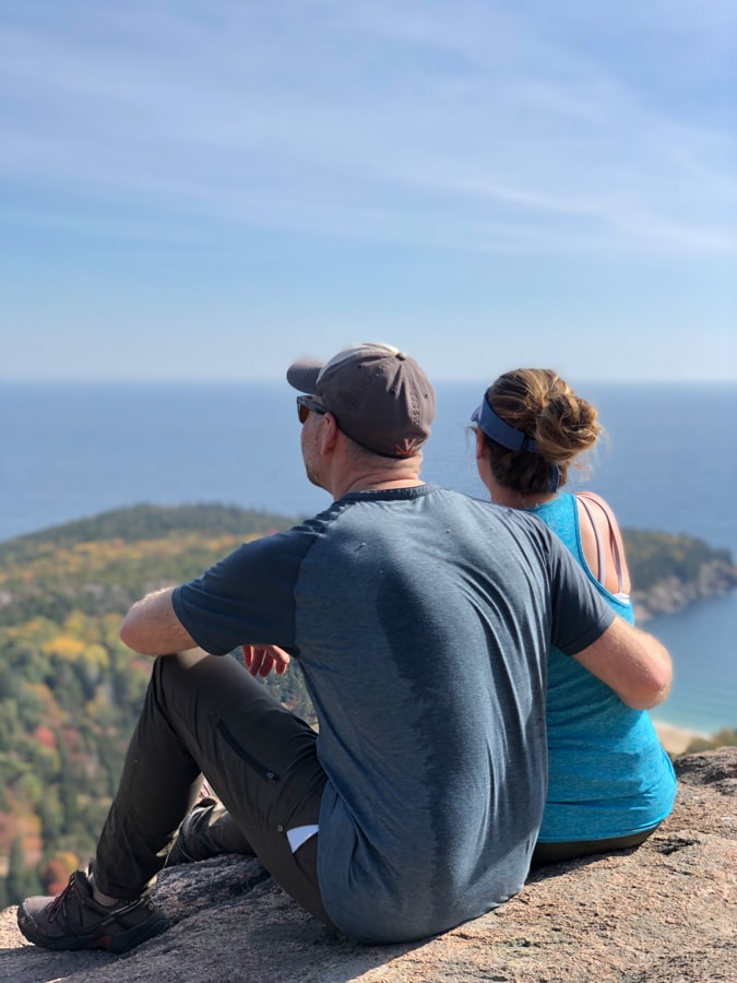
Plus an artsy one featuring Matt’s very sweaty back (he carried a backpack with all our water and food for us – thanks for taking one for the team, Matt)!
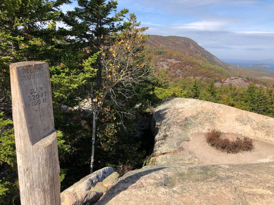
The actual summit marker for the Beehive is around the corner – here it is! Beautiful view on this side, too.
We ended up sitting on this side since no one else was around and enjoying some leftover pizza from the night before for a late lunch.
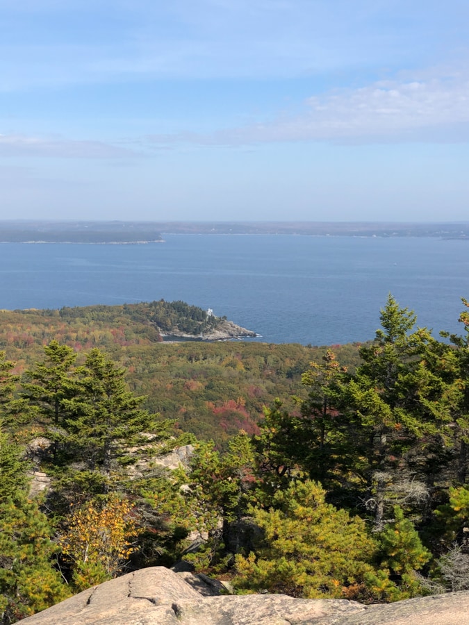
Hit the spot on day two as well! Pizza makes great hiking fuel, in my opinion, since it’s nice and salty. 🙂 We also had some leftover olives, too, plus some apples.
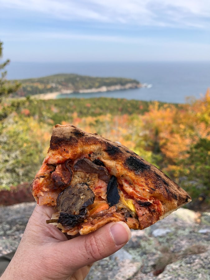
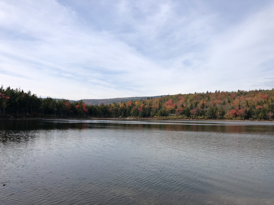
After our lunch, we said farewell to the Beehive Summit and headed down towards the Bowl, a beautiful pond/lake we heard was worth checking out.
We were quickly back into the woods as we made our way to the Bowl. I don’t remember how far it was from the Beehive Summit… maybe a mile or less?
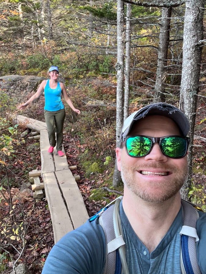
Hello, Bowl! You were beautiful.
After visiting the Bowl, we headed on to link up with the Gorham Mountain Trail.
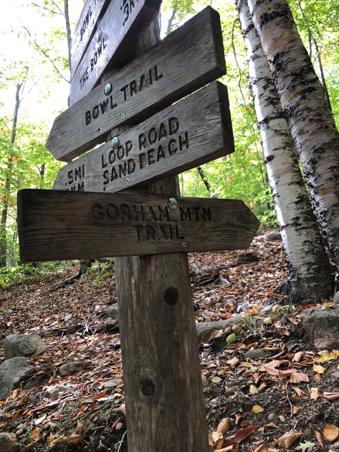
I don’t have as many pictures of this part of the hike, but from what I remember it was lovely and wooded, and also strenuous/uphill.
Gorham Mountain is similar elevation to the Beehive, but you go all the way down and then back up to access it.
Made it! 525 feet.
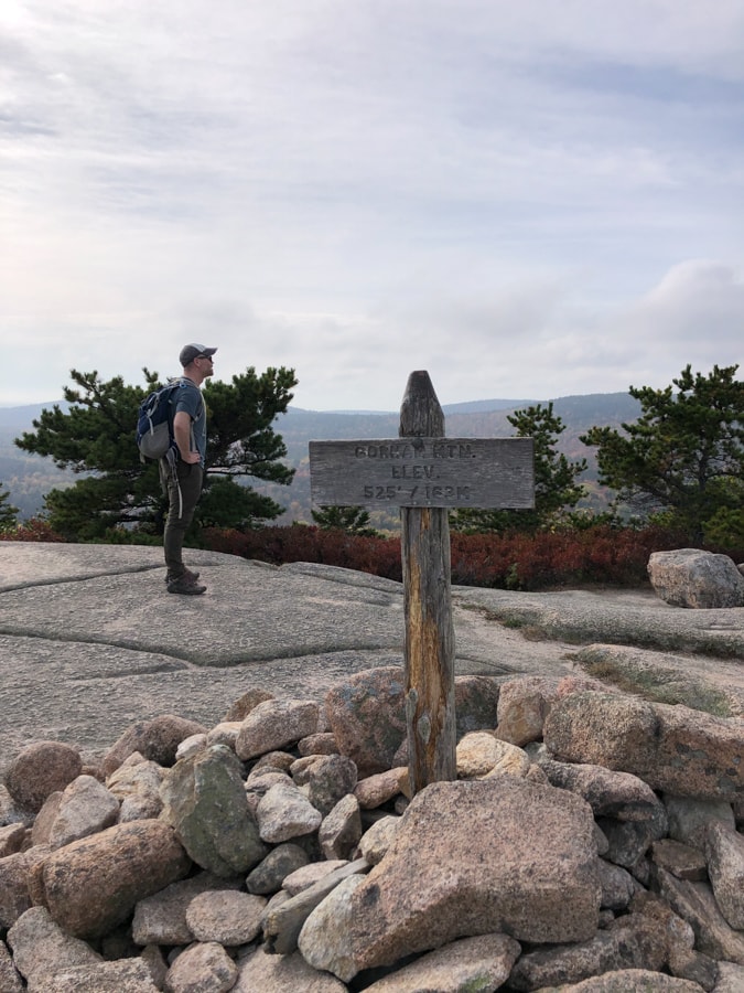
It was a little mistier looking while we were up here, but the skies cleared again as we came down.
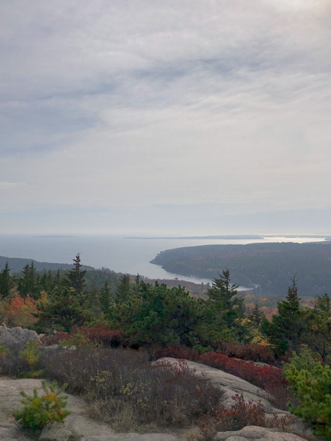
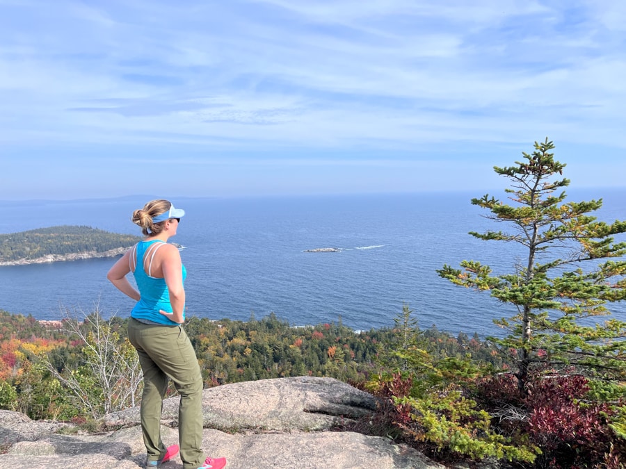
After lots of downhill (which I always find harder than going up because it’s so tough on the knees and ankles!), we made it all the way back to the ocean.
At this point, to get back to the Sand Beach parking area, you can simply walk on a path next to the road that goes all along the water. It’s mostly flat and easy, and there were some nice offshoots to check out like some fun rock scramble areas along the water.
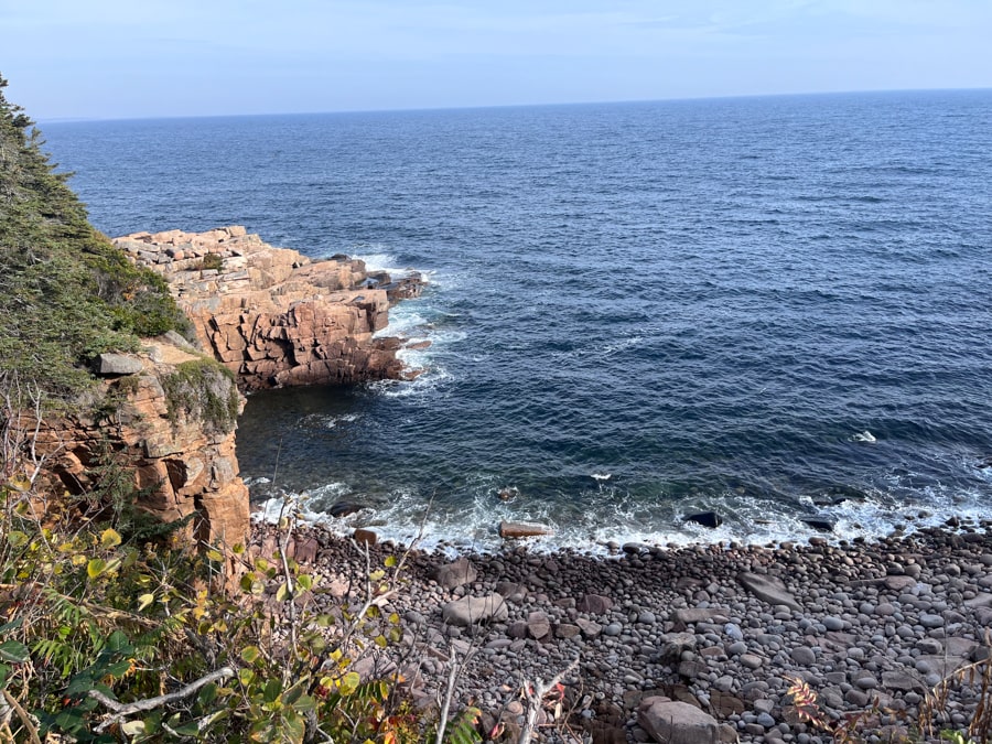
We also stopped by the Thunder Hole (an area where the water rushing into a large cave at high tide sounds like thunder), but it was super crowded and the tide wasn’t high enough for it to be all that cool. Oh well!
The coast was so rugged in this area, though, it was really cool to see. I love being by the ocean… and it was especially pretty with the fall leaves scattered around!
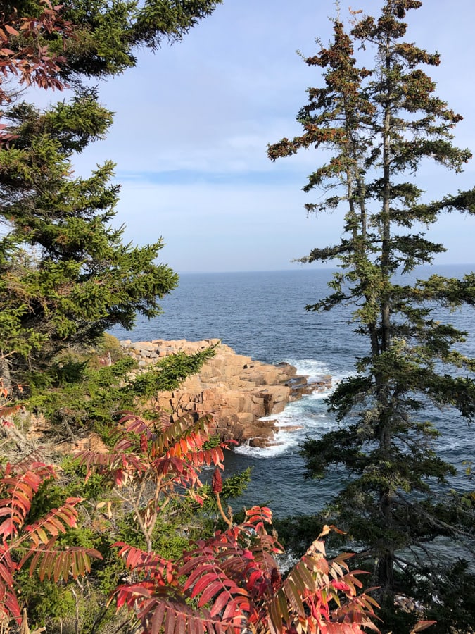
By the time we made it back to our parking area, we had covered about 4.5 miles. We considered adding on a little more but both of us were tired and ready to go get some food!
This was the night we headed in to Bar Harbor for an early dinner at Salt & Steel, which you can read about in my previous Maine food post.
This felt like such a treat of a day – not only just being out in the sunshine on a gorgeous day and getting in a hike, which we both love, but also the relaxing flow of the day in general – being able to sleep in, play things by ear, add on to the hike as we felt like it and linger where we wanted, and just generally do what we felt like was really nice and very different from our usual lives with 2 small children. 🙂
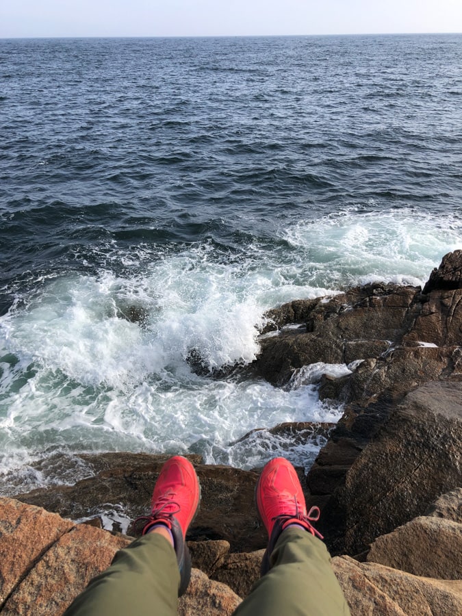
Stay tuned – I have 2 (maybe 3… will see how much I have to say!) more Maine hiking/adventure recap posts to come!
Are you afraid of heights? I am not super scared of heights, but I was definitely a little nervous on the Beehive! I’d say I’m generally more claustrophobic than scared of heights, though…


